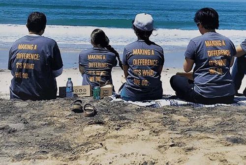
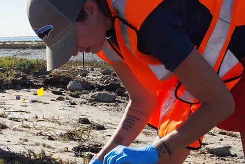
While most of you were trying to stay dry and cozy during this past storm, several intrepid volunteers offered to brave the elements and help us figure out the source of urban runoff pollutants.
Urban runoff is the biggest threat to water quality 

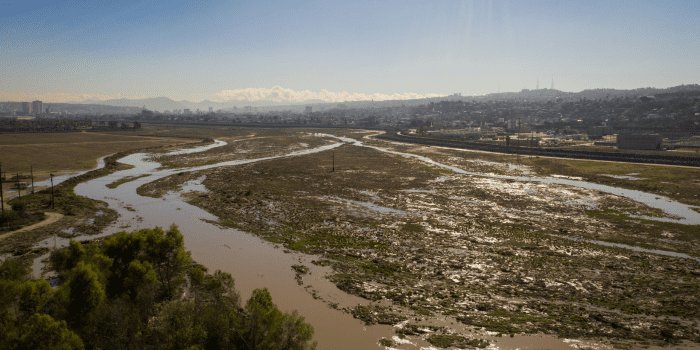
We divided up the Pueblo Watershed, the watershed for Chollas Creek, into sub-drainage basins. These are the colored areas displayed on the map. By analyzing the water coming out of these mini watersheds, we can hopefully determine the worst offenders for urban runoff. Once gathered, we will model this data to determine which of these basins has the highest pollutant concentrations, allowing us to better target our outreach and education efforts on the areas that disproportionately contribute to our urban runoff problem.
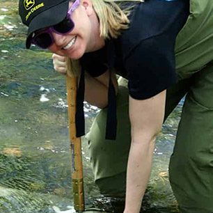
Sampling these areas was no small task, as we had to sample during the rain to catch the pollutants. We are deeply grateful to our amazing volunteers who ventured into the storm to conduct this sampling. They fought rain, wind, and traffic to help us collect this dataset. Hector Valtierra even sampled twice, spending seven soggy hours collecting data. Thank you, Hector!
It will take us a few weeks to analyze the data, but it looks interesting so far. There was a ton of bacteria in the water and nutrient levels look super high also. Trash was everywhere. We even unfortunately found a floating chihuahua. We’ll keep you updated as we work the data..
We thank the County Board of Supervisors and Union Bank for funding to support this project. In addition our thanks to Supervisor Greg Cox’s office for its involvement in getting this project started.
Interested in a volunteer’s perspective? Check out what Lynna Moy has to say about the day.

